Llwybr Llangynin / Llangynin path
Introduction
The photograph on this page of Llwybr Llangynin / Llangynin path by Alan Richards as part of the Geograph project.
The Geograph project started in 2005 with the aim of publishing, organising and preserving representative images for every square kilometre of Great Britain, Ireland and the Isle of Man.

There are currently over 7.5m images from over 14,400 individuals and you can help contribute to the project by visiting https://www.geograph.org.uk
Llwybr Llangynin / Llangynin path
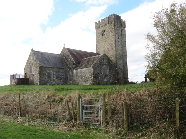
Image: © Alan Richards Taken: 2 Mar 2023
Gât fochyn yn rhoi mynediad i Eglwys Llangynin. A kissing gate gives access to Llangynin Church.
Images are licensed for reuse under creativecommons.org/licenses/by-sa/2.0
Image Location


Leaflet Map data © OpenStreetMap
Latitude
51.833877
Longitude
-4.535471