Barton in Fabis
Introduction
The photograph on this page of Barton in Fabis by Alan Murray-Rust as part of the Geograph project.
The Geograph project started in 2005 with the aim of publishing, organising and preserving representative images for every square kilometre of Great Britain, Ireland and the Isle of Man.

There are currently over 7.5m images from over 14,400 individuals and you can help contribute to the project by visiting https://www.geograph.org.uk
Barton in Fabis
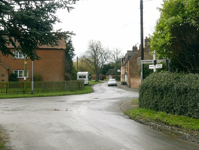
Image: © Alan Murray-Rust Taken: 1 Mar 2023
Recreating this 'First' for the square https://www.geograph.org.uk/photo/126703 . Very little has changed although the traditional fingerpost https://www.geograph.org.uk/photo/7421758 has been tidied up. Compare with https://www.geograph.org.uk/photo/1995838
Images are licensed for reuse under creativecommons.org/licenses/by-sa/2.0
Image Location
Latitude
52.890378
Longitude
-1.222629