Green Lane at the borough boundary
Introduction
The photograph on this page of Green Lane at the borough boundary by David Martin as part of the Geograph project.
The Geograph project started in 2005 with the aim of publishing, organising and preserving representative images for every square kilometre of Great Britain, Ireland and the Isle of Man.

There are currently over 7.5m images from over 14,400 individuals and you can help contribute to the project by visiting https://www.geograph.org.uk
Green Lane at the borough boundary
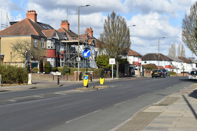
Image: © David Martin Taken: 26 Feb 2023
Looking from Bromley into Greenwich as Green Lane descends towards New Eltham.
Images are licensed for reuse under creativecommons.org/licenses/by-sa/2.0
Image Location
Latitude
51.425936
Longitude
0.064375