Woodfield, Ashtead
Introduction
The photograph on this page of Woodfield, Ashtead by Malc McDonald as part of the Geograph project.
The Geograph project started in 2005 with the aim of publishing, organising and preserving representative images for every square kilometre of Great Britain, Ireland and the Isle of Man.

There are currently over 7.5m images from over 14,400 individuals and you can help contribute to the project by visiting https://www.geograph.org.uk
Woodfield, Ashtead
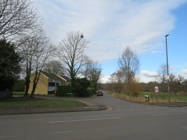
Image: © Malc McDonald Taken: 25 Feb 2023
Woodfield is a resdiential road in the village of Ashtead in Surrey. Houses on the left side of the road look out across Wood Field, part of Ashtead Common, on the right. This image was taken in the month of February. Trees were bare for the winter season.
Images are licensed for reuse under creativecommons.org/licenses/by-sa/2.0
Image Location
Latitude
51.314651
Longitude
-0.308695