Upper Norton Farm
Introduction
The photograph on this page of Upper Norton Farm by Oscar as part of the Geograph project.
The Geograph project started in 2005 with the aim of publishing, organising and preserving representative images for every square kilometre of Great Britain, Ireland and the Isle of Man.

There are currently over 7.5m images from over 14,400 individuals and you can help contribute to the project by visiting https://www.geograph.org.uk
Upper Norton Farm
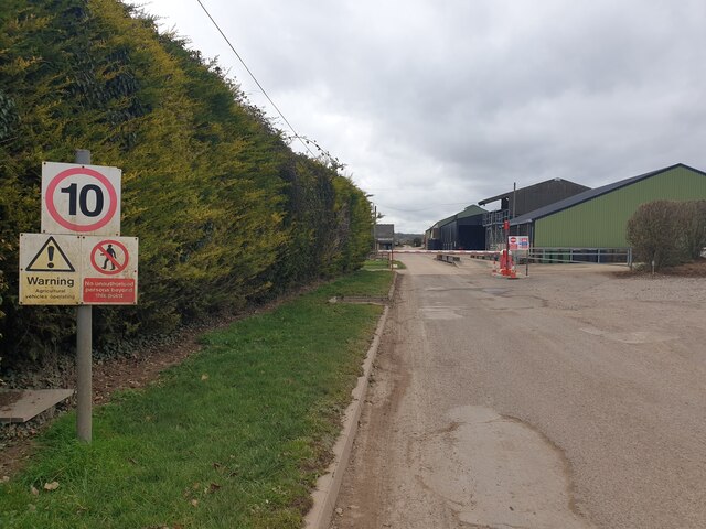
Image: © Oscar Taken: 1 Mar 2023
A view of Upper Norton Farm from the lane (a restricted byway) leading to the farm. Access is not allowed through the farm right now due to an outbreak of avian flu.
Images are licensed for reuse under creativecommons.org/licenses/by-sa/2.0
Image Location
Latitude
51.181364
Longitude
-1.318093