A29, Cookstown Road
Introduction
The photograph on this page of A29, Cookstown Road by Kenneth Allen as part of the Geograph project.
The Geograph project started in 2005 with the aim of publishing, organising and preserving representative images for every square kilometre of Great Britain, Ireland and the Isle of Man.

There are currently over 7.5m images from over 14,400 individuals and you can help contribute to the project by visiting https://www.geograph.org.uk
A29, Cookstown Road
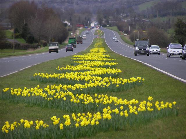
Image: © Kenneth Allen Taken: 26 Mar 2008
The colourful daffodil lined central bed on the dual carriageway between Cookstown and Moneymore which stretches for miles.
Images are licensed for reuse under creativecommons.org/licenses/by-sa/2.0
Image Location


Leaflet Map data © OpenStreetMap
Latitude
54.674358
Longitude
-6.701452