Rath, Raneese
Introduction
The photograph on this page of Rath, Raneese by Kenneth Allen as part of the Geograph project.
The Geograph project started in 2005 with the aim of publishing, organising and preserving representative images for every square kilometre of Great Britain, Ireland and the Isle of Man.

There are currently over 7.5m images from over 14,400 individuals and you can help contribute to the project by visiting https://www.geograph.org.uk
Rath, Raneese
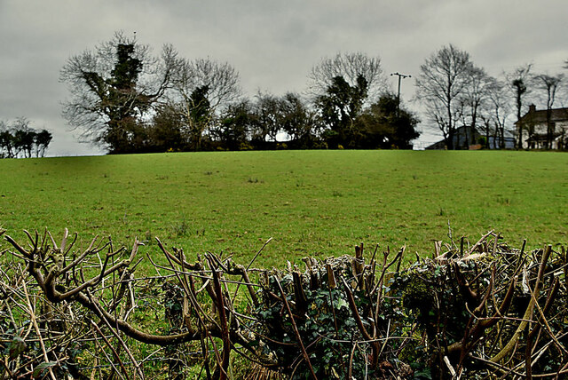
Image: © Kenneth Allen Taken: 1 Mar 2023
The Northern Ireland Sites and Monuments website describes it as follows: On the summit of a steep drumlin, the site is used as an extension of a farmyard. It is roughly circular, 32m N-S x 31m E-W. The interior & exterior of the site are level at S, with the bank 1.2m high internally & 1.5m high externally, but to N the bank is 0.5m internally & 2m above the ditch which on this side is 0.3m deep & 4m wide. There are 2 gaps in the bank, at NE &SE. The latter is 3.5m wide & probably marks the original entrance. The ditch, now only seen at N, may have originally surrounded the whole site. Pictured along Corbo Road
Images are licensed for reuse under creativecommons.org/licenses/by-sa/2.0
Image Location
Latitude
54.497599
Longitude
-7.260698