Milton Regis, High Street
Introduction
The photograph on this page of Milton Regis, High Street by Richard Dorrell as part of the Geograph project.
The Geograph project started in 2005 with the aim of publishing, organising and preserving representative images for every square kilometre of Great Britain, Ireland and the Isle of Man.

There are currently over 7.5m images from over 14,400 individuals and you can help contribute to the project by visiting https://www.geograph.org.uk
Milton Regis, High Street
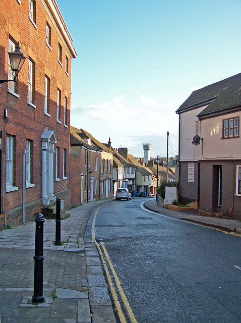
Image: © Richard Dorrell Taken: 28 Mar 2008
Looking south, from the junction with Crown Road. The water tower in the centre of the picture is at the now closed Sittingbourne paper mill. (See Image)
Images are licensed for reuse under creativecommons.org/licenses/by-sa/2.0
Image Location
Latitude
51.347956
Longitude
0.732398