Across Avonmouth
Introduction
The photograph on this page of Across Avonmouth by Neil Owen as part of the Geograph project.
The Geograph project started in 2005 with the aim of publishing, organising and preserving representative images for every square kilometre of Great Britain, Ireland and the Isle of Man.

There are currently over 7.5m images from over 14,400 individuals and you can help contribute to the project by visiting https://www.geograph.org.uk
Across Avonmouth
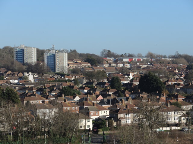
Image: © Neil Owen Taken: 6 Feb 2023
Seen from the M5 bridge, parts of the Academy and two tower blocks overlook the residences.
Images are licensed for reuse under creativecommons.org/licenses/by-sa/2.0
Image Location
Latitude
51.491046
Longitude
-2.680945