An Avonmouth skyline
Introduction
The photograph on this page of An Avonmouth skyline by Neil Owen as part of the Geograph project.
The Geograph project started in 2005 with the aim of publishing, organising and preserving representative images for every square kilometre of Great Britain, Ireland and the Isle of Man.

There are currently over 7.5m images from over 14,400 individuals and you can help contribute to the project by visiting https://www.geograph.org.uk
An Avonmouth skyline
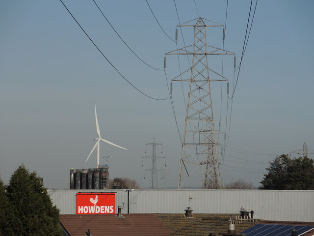
Image: © Neil Owen Taken: 6 Feb 2023
Avonmouth is particularly associated with the docks, heavy industries and retail parks. It is also home to several thousand people.
Images are licensed for reuse under creativecommons.org/licenses/by-sa/2.0
Image Location
Latitude
51.497569
Longitude
-2.687956