University Place
Introduction
The photograph on this page of University Place by Richard Sutcliffe as part of the Geograph project.
The Geograph project started in 2005 with the aim of publishing, organising and preserving representative images for every square kilometre of Great Britain, Ireland and the Isle of Man.

There are currently over 7.5m images from over 14,400 individuals and you can help contribute to the project by visiting https://www.geograph.org.uk
University Place
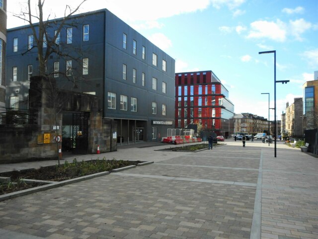
Image: © Richard Sutcliffe Taken: 24 Feb 2023
Looking towards Byres Road in the distance. The new building on the left is the Mathematics & Statistics Building. Beyond this is the Clarice Pears Building, which is the new home for the University's School of Health & Wellbeing.
Images are licensed for reuse under creativecommons.org/licenses/by-sa/2.0
Image Location
Latitude
55.872576
Longitude
-4.294739