Broadhembury: woods at Kentis Moor
Introduction
The photograph on this page of Broadhembury: woods at Kentis Moor by Martin Bodman as part of the Geograph project.
The Geograph project started in 2005 with the aim of publishing, organising and preserving representative images for every square kilometre of Great Britain, Ireland and the Isle of Man.

There are currently over 7.5m images from over 14,400 individuals and you can help contribute to the project by visiting https://www.geograph.org.uk
Broadhembury: woods at Kentis Moor
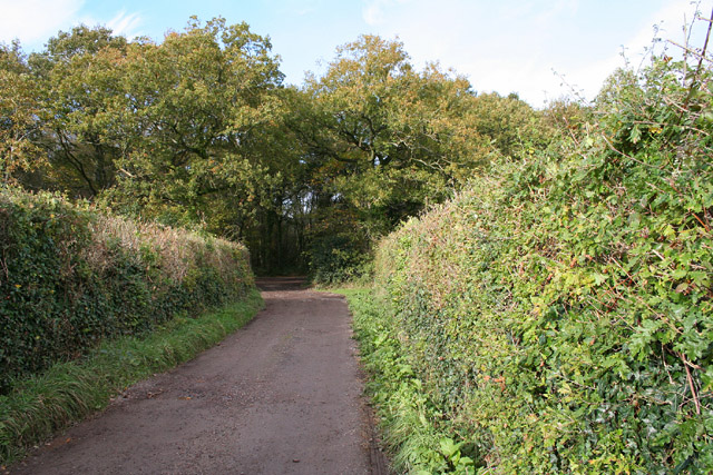
Image: © Martin Bodman Taken: 4 Nov 2005
Seen from the lane that leads to Dulford Nursery. These woods were hardly in existence when the 1940s Ordnance Survey map was surveyed
Images are licensed for reuse under creativecommons.org/licenses/by-sa/2.0
Image Location


Leaflet Map data © OpenStreetMap
Latitude
50.849041
Longitude
-3.333512