Crawborough, Charlbury
Introduction
The photograph on this page of Crawborough, Charlbury by Derek Harper as part of the Geograph project.
The Geograph project started in 2005 with the aim of publishing, organising and preserving representative images for every square kilometre of Great Britain, Ireland and the Isle of Man.

There are currently over 7.5m images from over 14,400 individuals and you can help contribute to the project by visiting https://www.geograph.org.uk
Crawborough, Charlbury
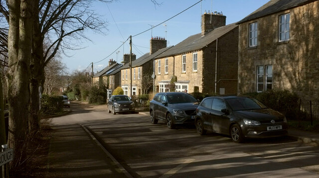
Image: © Derek Harper Taken: 11 Feb 2022
Bridleway 156 27/10 follows this road heading for the town centre, here lined on the north by a series of semis.
Images are licensed for reuse under creativecommons.org/licenses/by-sa/2.0
Image Location
Latitude
51.873538
Longitude
-1.476754