The southern end of industrial units on Stafford Park 4
Introduction
The photograph on this page of The southern end of industrial units on Stafford Park 4 by Richard Law as part of the Geograph project.
The Geograph project started in 2005 with the aim of publishing, organising and preserving representative images for every square kilometre of Great Britain, Ireland and the Isle of Man.

There are currently over 7.5m images from over 14,400 individuals and you can help contribute to the project by visiting https://www.geograph.org.uk
The southern end of industrial units on Stafford Park 4
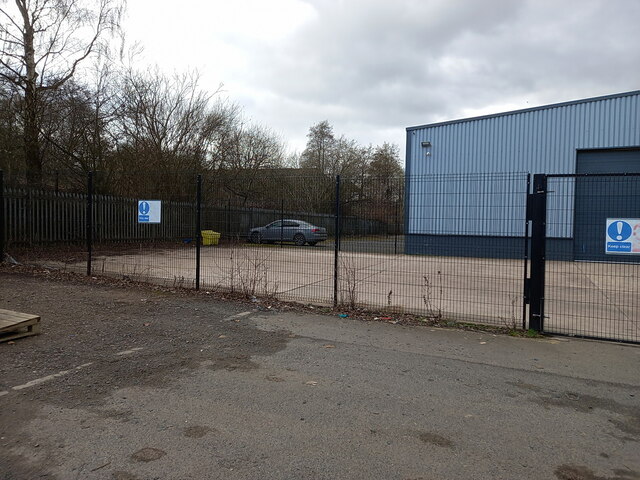
Image: © Richard Law Taken: 25 Feb 2023
Part of the extensive Stafford Park industrial estate, which largely occupies an area where the former Stafford Colliery (coal and ironstone) once existed. It was in operation from about 1875 to 1940 under the ownership of the Lilleshall Company, and was mapped as mostly still there in the late 1940s, but presumably had ceased to operate by then, and by the time the Telford Development Corporation came into existence in the 1960s, the land was available for purchase and redevelopment into Stafford Park.
Images are licensed for reuse under creativecommons.org/licenses/by-sa/2.0
Image Location
Latitude
52.674182
Longitude
-2.419087