Route of former railway
Introduction
The photograph on this page of Route of former railway by Richard Sutcliffe as part of the Geograph project.
The Geograph project started in 2005 with the aim of publishing, organising and preserving representative images for every square kilometre of Great Britain, Ireland and the Isle of Man.

There are currently over 7.5m images from over 14,400 individuals and you can help contribute to the project by visiting https://www.geograph.org.uk
Route of former railway
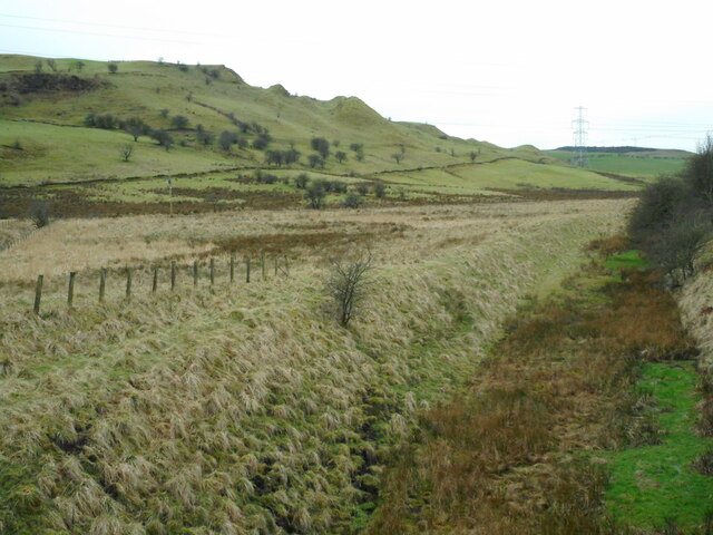
Image: © Richard Sutcliffe Taken: 23 Feb 2023
The line of the former Lanarkshire and Ayrshire Railway is on the right. This part of the line closed in 1962. Howcraigs Hill is on the left.
Images are licensed for reuse under creativecommons.org/licenses/by-sa/2.0
Image Location
Latitude
55.772676
Longitude
-4.459793