Farmland edge
Introduction
The photograph on this page of Farmland edge by Jonathan Billinger as part of the Geograph project.
The Geograph project started in 2005 with the aim of publishing, organising and preserving representative images for every square kilometre of Great Britain, Ireland and the Isle of Man.

There are currently over 7.5m images from over 14,400 individuals and you can help contribute to the project by visiting https://www.geograph.org.uk
Farmland edge
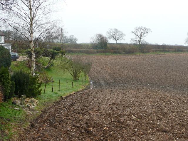
Image: © Jonathan Billinger Taken: 28 Mar 2008
The cultivated land runs right up to the garden of this house at Kingsash.
Images are licensed for reuse under creativecommons.org/licenses/by-sa/2.0
Image Location
Latitude
51.741456
Longitude
-0.716026