The Bradley arm of the Birmingham Canal Navigations
Introduction
The photograph on this page of The Bradley arm of the Birmingham Canal Navigations by Chris Allen as part of the Geograph project.
The Geograph project started in 2005 with the aim of publishing, organising and preserving representative images for every square kilometre of Great Britain, Ireland and the Isle of Man.

There are currently over 7.5m images from over 14,400 individuals and you can help contribute to the project by visiting https://www.geograph.org.uk
The Bradley arm of the Birmingham Canal Navigations
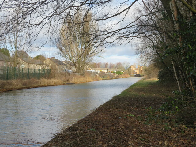
Image: © Chris Allen Taken: 17 Feb 2023
This leads to Bradley Workshops behind the photographer and is a cul de sac in the system although it will eventually link with the under restoration Bradley Canal.
Images are licensed for reuse under creativecommons.org/licenses/by-sa/2.0
Image Location
Latitude
52.554983
Longitude
-2.065738