Farmland and houses, Perranzabuloe
Introduction
The photograph on this page of Farmland and houses, Perranzabuloe by Andrew Smith as part of the Geograph project.
The Geograph project started in 2005 with the aim of publishing, organising and preserving representative images for every square kilometre of Great Britain, Ireland and the Isle of Man.

There are currently over 7.5m images from over 14,400 individuals and you can help contribute to the project by visiting https://www.geograph.org.uk
Farmland and houses, Perranzabuloe
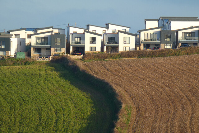
Image: © Andrew Smith Taken: 12 Feb 2023
Cramped modern houses on the southern edge of Perranporth reflect a style of architecture currently popular in the area. They are seen across a valley from Coombe View.
Images are licensed for reuse under creativecommons.org/licenses/by-sa/2.0
Image Location
Latitude
50.339436
Longitude
-5.152989