Forbidden territory ?
Introduction
The photograph on this page of Forbidden territory ? by Andy Waddington as part of the Geograph project.
The Geograph project started in 2005 with the aim of publishing, organising and preserving representative images for every square kilometre of Great Britain, Ireland and the Isle of Man.

There are currently over 7.5m images from over 14,400 individuals and you can help contribute to the project by visiting https://www.geograph.org.uk
Forbidden territory ?
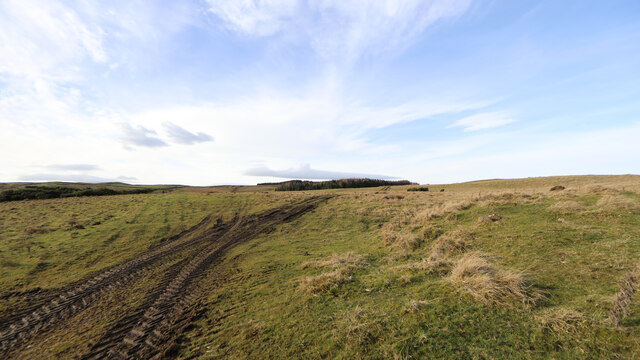
Image: © Andy Waddington Taken: 29 Jan 2023
Well, the signage would have you believe so, but the Defence Estates website speaks of a presumption of public access, and reading the Feldom Byelaws makes it clear that the public can only be banned from the range when the appropriate red flags or red lights are showing to indicate that the range is in use. A couple of distinctly not-military fell-runners had just emerged from the range as we passed (it seemed tactful not to include them in any photo) and the area is usually deserted on a Sunday. This is all to the good as there are a number of very interesting cup-and-ring marked stones to be visited, though for any extended visit it is only sensible to contact the range warden in advance so as to be sure they won't start shooting whilst you are in the bushes...
Images are licensed for reuse under creativecommons.org/licenses/by-sa/2.0
Image Location
Latitude
54.445008
Longitude
-1.799659