Howard Street
Introduction
The photograph on this page of Howard Street by Ian Capper as part of the Geograph project.
The Geograph project started in 2005 with the aim of publishing, organising and preserving representative images for every square kilometre of Great Britain, Ireland and the Isle of Man.

There are currently over 7.5m images from over 14,400 individuals and you can help contribute to the project by visiting https://www.geograph.org.uk
Howard Street
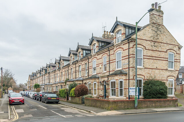
Image: © Ian Capper Taken: 4 Feb 2023
Uniform Late Victorian three-storeyed terrace in a cul-de-sac off Fulford Road.
Images are licensed for reuse under creativecommons.org/licenses/by-sa/2.0
Image Location
Latitude
53.949666
Longitude
-1.074056