Fulford Road
Introduction
The photograph on this page of Fulford Road by Ian Capper as part of the Geograph project.
The Geograph project started in 2005 with the aim of publishing, organising and preserving representative images for every square kilometre of Great Britain, Ireland and the Isle of Man.

There are currently over 7.5m images from over 14,400 individuals and you can help contribute to the project by visiting https://www.geograph.org.uk
Fulford Road
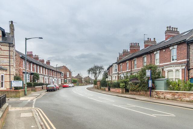
Image: © Ian Capper Taken: 4 Feb 2023
Late Victorian housing in Fulford Road, built c.1870, with those on the right shown on the 1891 1:500 Town Plan as Grange Crescent having been built on part of what was the Fulford Grange estate.
Images are licensed for reuse under creativecommons.org/licenses/by-sa/2.0
Image Location
Latitude
53.94939
Longitude
-1.074367