Field near Bradworthy
Introduction
The photograph on this page of Field near Bradworthy by Derek Harper as part of the Geograph project.
The Geograph project started in 2005 with the aim of publishing, organising and preserving representative images for every square kilometre of Great Britain, Ireland and the Isle of Man.

There are currently over 7.5m images from over 14,400 individuals and you can help contribute to the project by visiting https://www.geograph.org.uk
Field near Bradworthy
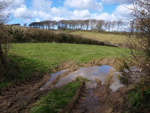
Image: © Derek Harper Taken: 27 Mar 2008
Looking through a damp gateway from the lane from Bradworthy to Stowford. The fine beeches are on the lane past Berridon Hall, and, like the intervening valley (of a tributary of the Waldon), are in SS3114.
Images are licensed for reuse under creativecommons.org/licenses/by-sa/2.0
Image Location


Leaflet Map data © OpenStreetMap
Latitude
50.900602
Longitude
-4.395376