South Buds/North Buds
Introduction
The photograph on this page of South Buds/North Buds by Simon Carey as part of the Geograph project.
The Geograph project started in 2005 with the aim of publishing, organising and preserving representative images for every square kilometre of Great Britain, Ireland and the Isle of Man.

There are currently over 7.5m images from over 14,400 individuals and you can help contribute to the project by visiting https://www.geograph.org.uk
South Buds/North Buds
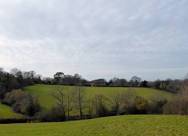
Image: © Simon Carey Taken: 5 Feb 2023
The name of the fields according to Framfield's 1840 tithe map that have been merged. South Buds was to the left and North Buds the right. Originally the field was surrounded by Blackboys Common whose enclosure was gradual and finally completed between 1840 and 1873.
Images are licensed for reuse under creativecommons.org/licenses/by-sa/2.0
Image Location
Latitude
50.96699
Longitude
0.169866