Rushett Lodge
Introduction
The photograph on this page of Rushett Lodge by Jonathan Billinger as part of the Geograph project.
The Geograph project started in 2005 with the aim of publishing, organising and preserving representative images for every square kilometre of Great Britain, Ireland and the Isle of Man.

There are currently over 7.5m images from over 14,400 individuals and you can help contribute to the project by visiting https://www.geograph.org.uk
Rushett Lodge
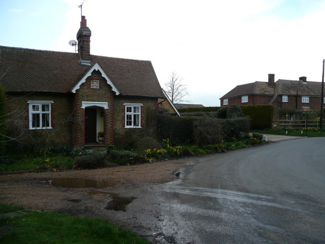
Image: © Jonathan Billinger Taken: 27 Mar 2008
The building to the left, which was built in 1850. The photographer once lived in the house to the right, before it was extended.
Images are licensed for reuse under creativecommons.org/licenses/by-sa/2.0
Image Location
Latitude
51.303015
Longitude
0.822128