View through field gateway on west side of A6071 of Kirby Moor School
Introduction
The photograph on this page of View through field gateway on west side of A6071 of Kirby Moor School by Roger Templeman as part of the Geograph project.
The Geograph project started in 2005 with the aim of publishing, organising and preserving representative images for every square kilometre of Great Britain, Ireland and the Isle of Man.

There are currently over 7.5m images from over 14,400 individuals and you can help contribute to the project by visiting https://www.geograph.org.uk
View through field gateway on west side of A6071 of Kirby Moor School
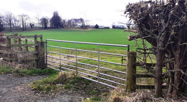
Image: © Roger Templeman Taken: 11 Feb 2023
Ordnance Survey documents indicate that a benchmark was levelled in 1971 at 61.753m above Newlyn Datum on a roadside barn (Red Barn) at this location. It was verified in 1974 but the barn has subsequently been demolished
Images are licensed for reuse under creativecommons.org/licenses/by-sa/2.0
Image Location
Latitude
54.945957
Longitude
-2.745414