Junction of Longtown Road and Greenfield Lane
Introduction
The photograph on this page of Junction of Longtown Road and Greenfield Lane by Roger Templeman as part of the Geograph project.
The Geograph project started in 2005 with the aim of publishing, organising and preserving representative images for every square kilometre of Great Britain, Ireland and the Isle of Man.

There are currently over 7.5m images from over 14,400 individuals and you can help contribute to the project by visiting https://www.geograph.org.uk
Junction of Longtown Road and Greenfield Lane
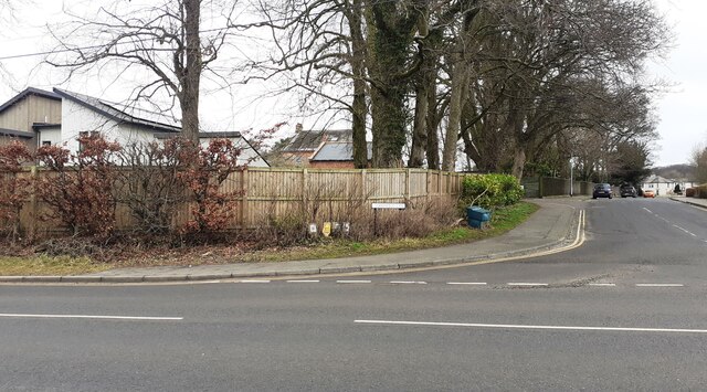
Image: © Roger Templeman Taken: 11 Feb 2023
Ordnance Survey documents indicate that a benchmark levelled at 67.313m above Newlyn was verified in 1974 on a low wall at the apex of the bend near the hydrant sign. The wall is extant but in poor condition
Images are licensed for reuse under creativecommons.org/licenses/by-sa/2.0
Image Location
Latitude
54.945081
Longitude
-2.741651