Path through The Pleck
Introduction
The photograph on this page of Path through The Pleck by Des Blenkinsopp as part of the Geograph project.
The Geograph project started in 2005 with the aim of publishing, organising and preserving representative images for every square kilometre of Great Britain, Ireland and the Isle of Man.

There are currently over 7.5m images from over 14,400 individuals and you can help contribute to the project by visiting https://www.geograph.org.uk
Path through The Pleck
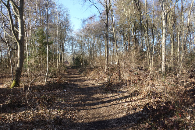
Image: © Des Blenkinsopp Taken: 6 Feb 2023
Shown on the map as access land, The Pleck is a tiny remnant of old woodland. The path through it cuts the corner from Rake Lane to Petworth Road.
Images are licensed for reuse under creativecommons.org/licenses/by-sa/2.0
Image Location
Latitude
51.161603
Longitude
-0.648097