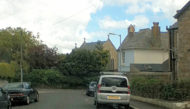
Empress Avenue
Introduction
The photograph on this page of Empress Avenue by Paul Barnett as part of the Geograph project.
The Geograph project started in 2005 with the aim of publishing, organising and preserving representative images for every square kilometre of Great Britain, Ireland and the Isle of Man.
There are currently over 7.5m images from over 14,400 individuals and you can help contribute to the project by visiting https://www.geograph.org.uk

Image: © Paul Barnett Taken: 1 Jan 2014
The buildings between the end of Empress Avenue and St Mary's Street are now the St. Mary's Haven Residential Care Home https://maps.app.goo.gl/3VfkAiWBrRyc3LD56 . The Home's website https://www.ansoncare.co.uk/st-marys-haven-care-home-in-penzance-cornwall/ says that it was "Originally a series of buildings which included St Gertrudes Convent ... " and that "The site also includes a small Chapel ... " - the west gable end and the roof of which can be seen in the photo. Streetview https://maps.app.goo.gl/nAyNwx9vqJFYGJKW6 shows that the view in the photo is no longer obtainable because the house on the east side at the top end of Medrose Terrace seems to have been extended sometime after 2014 and is now rectangular, rather than angled on its north side as seen in the satellite image https://wtp2recorder.appspot.com/wheresthepath.htm?lat=50.123250&lon=-5.538935&lz=18&rz=19<=OS&rt=satellite&lov=None&rov=None&lgrat=None&rgrat=None .

