Arncott Platform
Introduction
The photograph on this page of Arncott Platform by Bob Walters as part of the Geograph project.
The Geograph project started in 2005 with the aim of publishing, organising and preserving representative images for every square kilometre of Great Britain, Ireland and the Isle of Man.

There are currently over 7.5m images from over 14,400 individuals and you can help contribute to the project by visiting https://www.geograph.org.uk
Arncott Platform
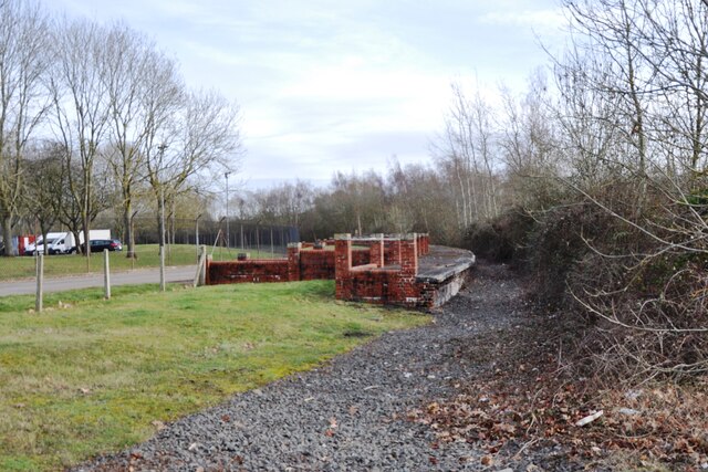
Image: © Bob Walters Taken: 10 Feb 2023
Arncott Platform was a halt on the Bicester Military Railway for MOD staff when the railway was in full use during WW2 and the decade after. The track has now been removed as the present day use of the railway is confined to the Graven Hill section.
Images are licensed for reuse under creativecommons.org/licenses/by-sa/2.0
Image Location
Latitude
51.854093
Longitude
-1.112692