Houses at Ruardean Woodside
Introduction
The photograph on this page of Houses at Ruardean Woodside by Philip Halling as part of the Geograph project.
The Geograph project started in 2005 with the aim of publishing, organising and preserving representative images for every square kilometre of Great Britain, Ireland and the Isle of Man.

There are currently over 7.5m images from over 14,400 individuals and you can help contribute to the project by visiting https://www.geograph.org.uk
Houses at Ruardean Woodside
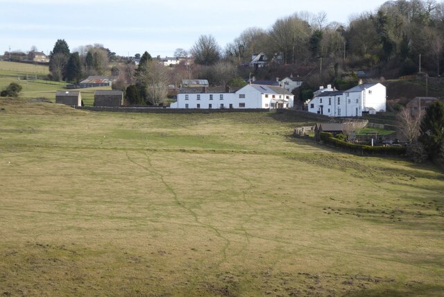
Image: © Philip Halling Taken: 5 Feb 2023
This is a post-industrial landscape, this was a former site of a coalmine. Today the land has been reclaimed.
Images are licensed for reuse under creativecommons.org/licenses/by-sa/2.0
Image Location
Latitude
51.84861
Longitude
-2.547543