Farmyard, Low Parkhead
Introduction
The photograph on this page of Farmyard, Low Parkhead by Adrian Taylor as part of the Geograph project.
The Geograph project started in 2005 with the aim of publishing, organising and preserving representative images for every square kilometre of Great Britain, Ireland and the Isle of Man.

There are currently over 7.5m images from over 14,400 individuals and you can help contribute to the project by visiting https://www.geograph.org.uk
Farmyard, Low Parkhead
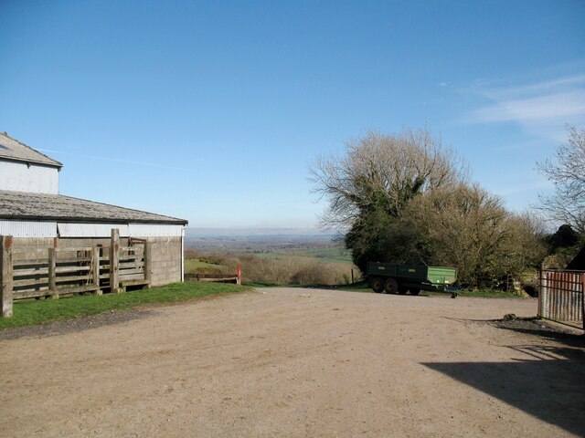
Image: © Adrian Taylor Taken: 25 Mar 2017
A public footpath to Warnell leaves the farmyard beside the bushes; a waymark post is visible in the shadows behind the farm trailer. The footpath is an alternative to The Cumbria Way between Caldbeck and Sebergham (next photograph Image).
Images are licensed for reuse under creativecommons.org/licenses/by-sa/2.0
Image Location


Leaflet Map data © OpenStreetMap
Latitude
54.753907
Longitude
-3.028709