Boundary Stone, Morse Lane, Drybrook
Introduction
The photograph on this page of Boundary Stone, Morse Lane, Drybrook by Mr Red as part of the Geograph project.
The Geograph project started in 2005 with the aim of publishing, organising and preserving representative images for every square kilometre of Great Britain, Ireland and the Isle of Man.

There are currently over 7.5m images from over 14,400 individuals and you can help contribute to the project by visiting https://www.geograph.org.uk
Boundary Stone, Morse Lane, Drybrook
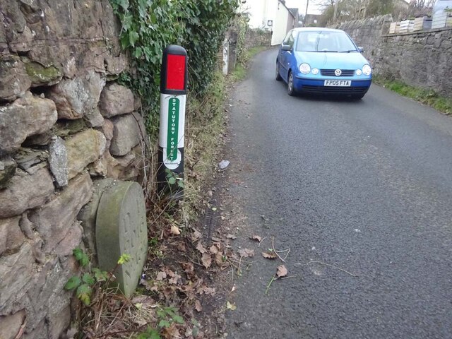
Image: © Mr Red Taken: 4 Feb 2023
Modern Forest of Dean boundary stone against a roadside wall. A survey before installing replacement stones described the stone as "in the wall". The look of it, there seems to be a similar stone behind, "in the wall". Inscription: D. F. / 2016 / Nᴼ. 137 Milestone Society National ID: GL_DFDRYB137em
Images are licensed for reuse under creativecommons.org/licenses/by-sa/2.0
Image Location
Latitude
51.854985
Longitude
-2.517551