Eglwys Sant Pedr Llanybydder (St. Peter's Church)
Introduction
The photograph on this page of Eglwys Sant Pedr Llanybydder (St. Peter's Church) by Liz Tipping as part of the Geograph project.
The Geograph project started in 2005 with the aim of publishing, organising and preserving representative images for every square kilometre of Great Britain, Ireland and the Isle of Man.

There are currently over 7.5m images from over 14,400 individuals and you can help contribute to the project by visiting https://www.geograph.org.uk
Eglwys Sant Pedr Llanybydder (St. Peter's Church)
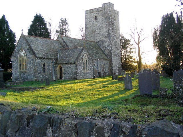
Image: © Liz Tipping Taken: Unknown
It is unknown just how long there has been a church on the site but in 1363 it was part of Carmarthen Priory, although it is thought that the tower may be as early as 12th or 13th Century.
Images are licensed for reuse under creativecommons.org/licenses/by-sa/2.0
Image Location
Latitude
52.073503
Longitude
-4.162902