Thorpe Bay Corner
Introduction
The photograph on this page of Thorpe Bay Corner by David Kemp as part of the Geograph project.
The Geograph project started in 2005 with the aim of publishing, organising and preserving representative images for every square kilometre of Great Britain, Ireland and the Isle of Man.

There are currently over 7.5m images from over 14,400 individuals and you can help contribute to the project by visiting https://www.geograph.org.uk
Thorpe Bay Corner
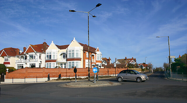
Image: © David Kemp Taken: 5 Feb 2023
Thorpe Bay Corner seen here at the junction of Thorpe Esplanade and Thorpe Hall Avenue used to be a major terminus first served by trams and then by motorbuses and trolleybuses, all of which provided a frequent service to various parts of the town. All that is now left is a bus route that runs along the Esplanade. Apart from the dismantling of all the overhead wiring, the scene has not changed much over the years.
Images are licensed for reuse under creativecommons.org/licenses/by-sa/2.0
Image Location
Latitude
51.529411
Longitude
0.753347