High Street, London Colney, across the North Orbital Road
Introduction
The photograph on this page of High Street, London Colney, across the North Orbital Road by Christopher Hilton as part of the Geograph project.
The Geograph project started in 2005 with the aim of publishing, organising and preserving representative images for every square kilometre of Great Britain, Ireland and the Isle of Man.

There are currently over 7.5m images from over 14,400 individuals and you can help contribute to the project by visiting https://www.geograph.org.uk
High Street, London Colney, across the North Orbital Road
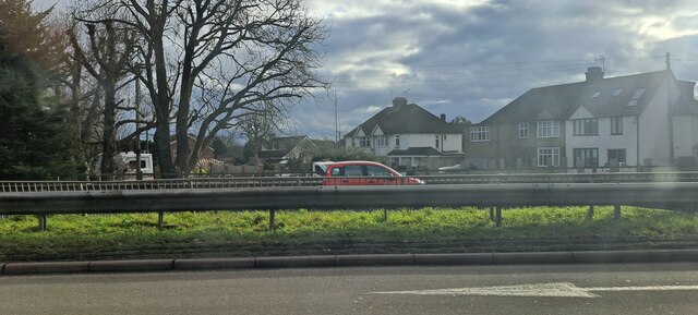
Image: © Christopher Hilton Taken: 2 Feb 2023
The houses seen across the road are at the north end of London Colney's High Street, which, before it was severed by the building of the North Orbital Road and other pre-motorway arterial roads, was the old A6 linking Barnet to St Albans.
Images are licensed for reuse under creativecommons.org/licenses/by-sa/2.0
Image Location
Latitude
51.730567
Longitude
-0.303931