Llwybr ar gomin / Path on a common
Introduction
The photograph on this page of Llwybr ar gomin / Path on a common by Alan Richards as part of the Geograph project.
The Geograph project started in 2005 with the aim of publishing, organising and preserving representative images for every square kilometre of Great Britain, Ireland and the Isle of Man.

There are currently over 7.5m images from over 14,400 individuals and you can help contribute to the project by visiting https://www.geograph.org.uk
Llwybr ar gomin / Path on a common
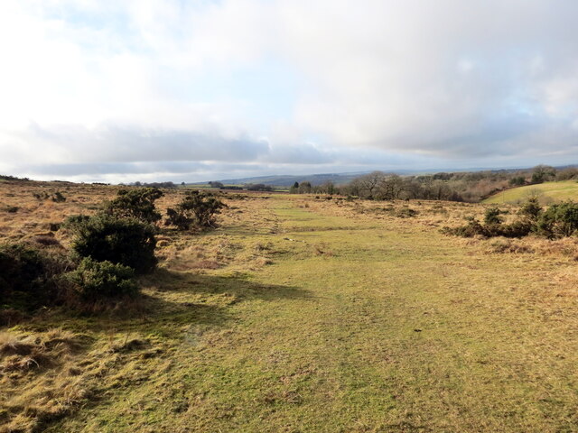
Image: © Alan Richards Taken: 3 Feb 2023
Llwybr ar lethrau isaf Mynydd Llanllwni. A path on the lower slopes of Mynydd Llanllwni (trans. St Llwni's parish mountain).
Images are licensed for reuse under creativecommons.org/licenses/by-sa/2.0
Image Location


Leaflet Map data © OpenStreetMap
Latitude
52.028237
Longitude
-4.184332