Farm buildings, Ogbourne St. George
Introduction
The photograph on this page of Farm buildings, Ogbourne St. George by Jonathan Billinger as part of the Geograph project.
The Geograph project started in 2005 with the aim of publishing, organising and preserving representative images for every square kilometre of Great Britain, Ireland and the Isle of Man.

There are currently over 7.5m images from over 14,400 individuals and you can help contribute to the project by visiting https://www.geograph.org.uk
Farm buildings, Ogbourne St. George
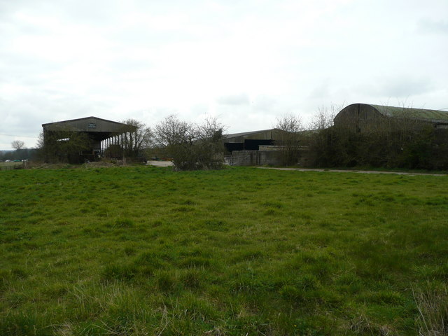
Image: © Jonathan Billinger Taken: 26 Mar 2008
Situated on the village street; possibly ear-marked for housing at some point in the future.
Images are licensed for reuse under creativecommons.org/licenses/by-sa/2.0
Image Location
Latitude
51.466057
Longitude
-1.712042