Promised Land Farm
Introduction
The photograph on this page of Promised Land Farm by Gary Rogers as part of the Geograph project.
The Geograph project started in 2005 with the aim of publishing, organising and preserving representative images for every square kilometre of Great Britain, Ireland and the Isle of Man.

There are currently over 7.5m images from over 14,400 individuals and you can help contribute to the project by visiting https://www.geograph.org.uk
Promised Land Farm
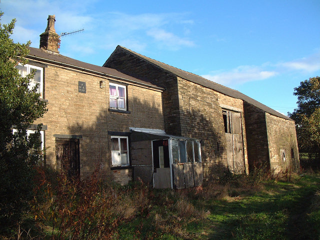
Image: © Gary Rogers Taken: 2 Nov 2005
1830 farm house to the west of Billinge Hill. Soon to be redeveloped.
Images are licensed for reuse under creativecommons.org/licenses/by-sa/2.0
Image Location


Leaflet Map data © OpenStreetMap
Latitude
53.51332
Longitude
-2.734356