Burbage ways [3]
Introduction
The photograph on this page of Burbage ways [3] by Michael Dibb as part of the Geograph project.
The Geograph project started in 2005 with the aim of publishing, organising and preserving representative images for every square kilometre of Great Britain, Ireland and the Isle of Man.

There are currently over 7.5m images from over 14,400 individuals and you can help contribute to the project by visiting https://www.geograph.org.uk
Burbage ways [3]
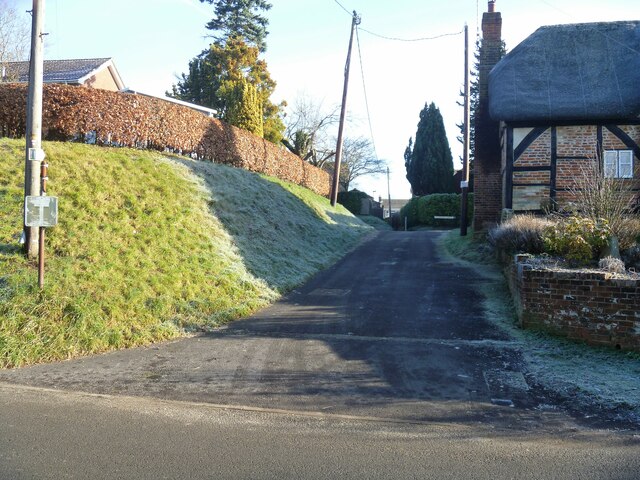
Image: © Michael Dibb Taken: 23 Jan 2023
The village has an extensive network of footpaths between High Street and Eastcote Road. This path, between numbers 131 and 135 High Street, leads into that network. Burbage is a village in the Vale of Pewsey, Wiltshire, it lies about 5½ miles southeast of Marlborough and some 15½ miles west of Newbury. The narrow village High Street was the main north to south road from Marlborough to Andover (A346) until a bypass was built to the west in 1991. Settlement can be traced back to the Neolithic period, and Bronze Age artefacts have been found. Burbage is now essentially a commuter village.
Images are licensed for reuse under creativecommons.org/licenses/by-sa/2.0
Image Location
Latitude
51.350405
Longitude
-1.670694