Shearing Close, Hook Norton
Introduction
The photograph on this page of Shearing Close, Hook Norton by Derek Harper as part of the Geograph project.
The Geograph project started in 2005 with the aim of publishing, organising and preserving representative images for every square kilometre of Great Britain, Ireland and the Isle of Man.

There are currently over 7.5m images from over 14,400 individuals and you can help contribute to the project by visiting https://www.geograph.org.uk
Shearing Close, Hook Norton
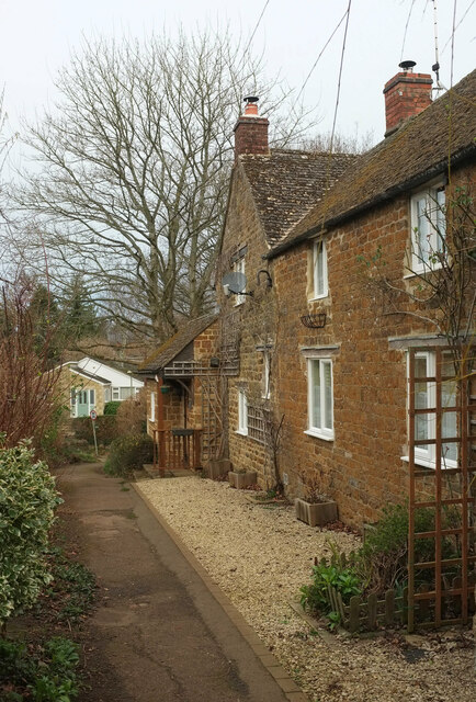
Image: © Derek Harper Taken: 10 Feb 2022
Footpath 253 17/10 passes the house on its descent to Watery Lane.
Images are licensed for reuse under creativecommons.org/licenses/by-sa/2.0
Image Location
Latitude
51.996126
Longitude
-1.486396