Barloch Avenue
Introduction
The photograph on this page of Barloch Avenue by Richard Sutcliffe as part of the Geograph project.
The Geograph project started in 2005 with the aim of publishing, organising and preserving representative images for every square kilometre of Great Britain, Ireland and the Isle of Man.

There are currently over 7.5m images from over 14,400 individuals and you can help contribute to the project by visiting https://www.geograph.org.uk
Barloch Avenue
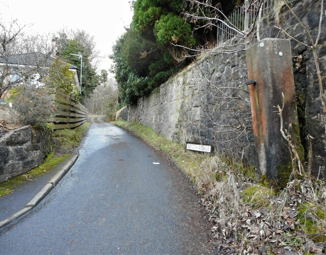
Image: © Richard Sutcliffe Taken: 1 Feb 2023
Looking up Barloch Avenue from Mugdock Road. The concrete gate pier has not been used for a long time.
Images are licensed for reuse under creativecommons.org/licenses/by-sa/2.0
Image Location
Latitude
55.944145
Longitude
-4.317229