The Wilderness and Rose Villa
Introduction
The photograph on this page of The Wilderness and Rose Villa by Ian Capper as part of the Geograph project.
The Geograph project started in 2005 with the aim of publishing, organising and preserving representative images for every square kilometre of Great Britain, Ireland and the Isle of Man.

There are currently over 7.5m images from over 14,400 individuals and you can help contribute to the project by visiting https://www.geograph.org.uk
The Wilderness and Rose Villa
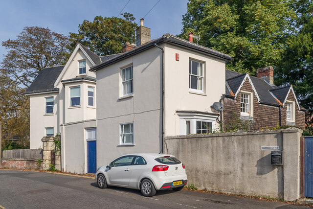
Image: © Ian Capper Taken: 22 Sep 2022
Houses on Shady Bower. Both are marked on the 1880 1:500 plan, although on that the nearer of the two, The Wilderness was named Ivy Cottage. The Wilderness dates from the c.1830s is grade II listed - see https://historicengland.org.uk/listing/the-list/list-entry/1243147?section=official-list-entry.
Images are licensed for reuse under creativecommons.org/licenses/by-sa/2.0
Image Location
Latitude
51.068154
Longitude
-1.785546