South of Myarth woods
Introduction
The photograph on this page of South of Myarth woods by Graham Horn as part of the Geograph project.
The Geograph project started in 2005 with the aim of publishing, organising and preserving representative images for every square kilometre of Great Britain, Ireland and the Isle of Man.

There are currently over 7.5m images from over 14,400 individuals and you can help contribute to the project by visiting https://www.geograph.org.uk
South of Myarth woods
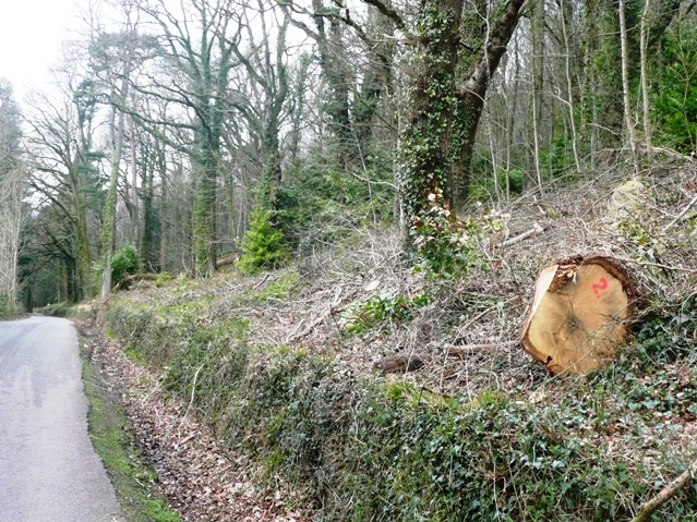
Image: © Graham Horn Taken: 22 Mar 2008
A minor road runs along the southern edge of the woods, dipping in and out of the grid square. This is just within.
Images are licensed for reuse under creativecommons.org/licenses/by-sa/2.0
Image Location
Latitude
51.872673
Longitude
-3.19523