Track, wall and woodland
Introduction
The photograph on this page of Track, wall and woodland by Alan Hughes as part of the Geograph project.
The Geograph project started in 2005 with the aim of publishing, organising and preserving representative images for every square kilometre of Great Britain, Ireland and the Isle of Man.

There are currently over 7.5m images from over 14,400 individuals and you can help contribute to the project by visiting https://www.geograph.org.uk
Track, wall and woodland
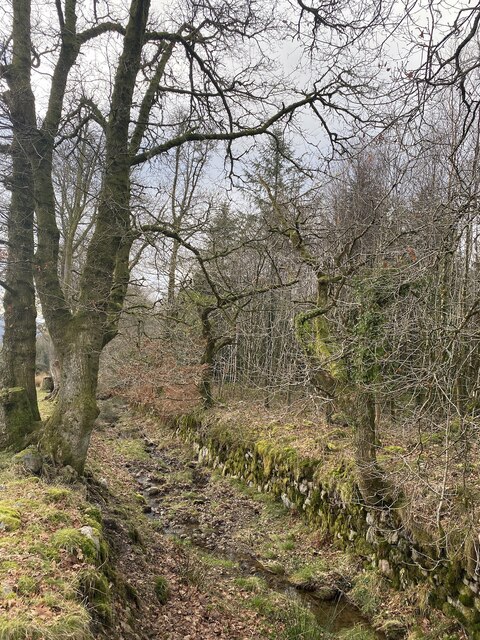
Image: © Alan Hughes Taken: 27 Jan 2023
The wall is a substantial boundary wall between what is now open access land and the woodland of Giedd Forest. The track was once an important route for transporting quarry stone from Cribarth to Ystradgynlais.
Images are licensed for reuse under creativecommons.org/licenses/by-sa/2.0
Image Location
Latitude
51.800712
Longitude
-3.744146