Former railway trackbed
Introduction
The photograph on this page of Former railway trackbed by Kevin Waterhouse as part of the Geograph project.
The Geograph project started in 2005 with the aim of publishing, organising and preserving representative images for every square kilometre of Great Britain, Ireland and the Isle of Man.

There are currently over 7.5m images from over 14,400 individuals and you can help contribute to the project by visiting https://www.geograph.org.uk
Former railway trackbed
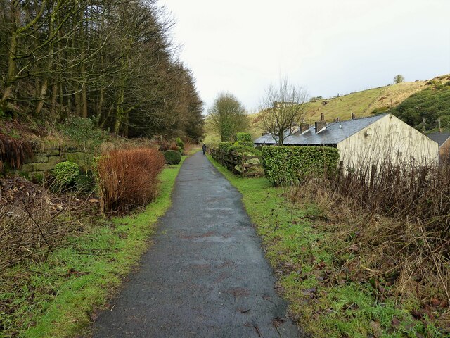
Image: © Kevin Waterhouse Taken: 27 Jan 2023
The Rochdale to Bacup branch line was cut into the hillside on the climb beyond Shawforth. Now a cycle route and here used as a rear garden for the terraced row of cottages sandwiched between the railway and the road.
Images are licensed for reuse under creativecommons.org/licenses/by-sa/2.0
Image Location
Latitude
53.685967
Longitude
-2.16773