The course of the railway across a field at Holton
Introduction
The photograph on this page of The course of the railway across a field at Holton by Adrian S Pye as part of the Geograph project.
The Geograph project started in 2005 with the aim of publishing, organising and preserving representative images for every square kilometre of Great Britain, Ireland and the Isle of Man.

There are currently over 7.5m images from over 14,400 individuals and you can help contribute to the project by visiting https://www.geograph.org.uk
The course of the railway across a field at Holton
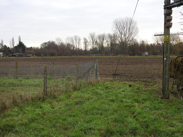
Image: © Adrian S Pye Taken: 28 Jan 2023
From beyond the grey shed, having passed across the occupation crossing #5 at the bottom of the lane beside the Cherry Tree public house, and the culvert #3, the line traversed this field in a gentle curve to pass just to the south of the pumping station at this point before crossing #4 on Ducker's drift, immediately behind the camera.
Images are licensed for reuse under creativecommons.org/licenses/by-sa/2.0
Image Location
Latitude
52.339907
Longitude
1.523799