Village sign for Old Wives Lees
Introduction
The photograph on this page of Village sign for Old Wives Lees by Marathon as part of the Geograph project.
The Geograph project started in 2005 with the aim of publishing, organising and preserving representative images for every square kilometre of Great Britain, Ireland and the Isle of Man.

There are currently over 7.5m images from over 14,400 individuals and you can help contribute to the project by visiting https://www.geograph.org.uk
Village sign for Old Wives Lees
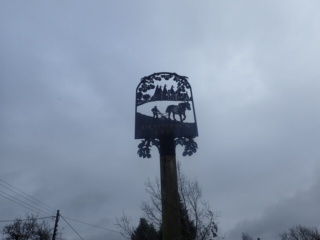
Image: © Marathon Taken: 26 Jan 2023
There is a six-way junction at the centre of Old Wives Lees. The green in the middle of the junction sees the village sign with hops and farming featuring. The origin of the name of Old Wives Lees is not clear but in 1870-72, John Marius Wilson's Imperial Gazetteer of England and Wales described Old Wives Lees thus: "OLD-WIVES-LEES, or Oldwoods-Lees, a place in the N E of Kent; 4¼ miles S W of Canterbury. An annual race, on 19 May, by young maids and bachelors, was instituted here by Sir D. Digges of Chilham."
Images are licensed for reuse under creativecommons.org/licenses/by-sa/2.0
Image Location
Latitude
51.255424
Longitude
0.967994