Crossroads at south end of Faugh
Introduction
The photograph on this page of Crossroads at south end of Faugh by Roger Templeman as part of the Geograph project.
The Geograph project started in 2005 with the aim of publishing, organising and preserving representative images for every square kilometre of Great Britain, Ireland and the Isle of Man.

There are currently over 7.5m images from over 14,400 individuals and you can help contribute to the project by visiting https://www.geograph.org.uk
Crossroads at south end of Faugh
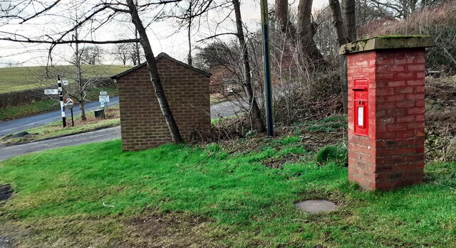
Image: © Roger Templeman Taken: 26 Jan 2023
In the image are a Cumberland County Council finger signpost Image, a bus shelter and a brick letter box which has an Ordnance Survey benchmark Image at its base.
Images are licensed for reuse under creativecommons.org/licenses/by-sa/2.0
Image Location
Latitude
54.884
Longitude
-2.766248