Llwybr i Dafarn y Cwm / Path to Tafarn y Cwm
Introduction
The photograph on this page of Llwybr i Dafarn y Cwm / Path to Tafarn y Cwm by Alan Richards as part of the Geograph project.
The Geograph project started in 2005 with the aim of publishing, organising and preserving representative images for every square kilometre of Great Britain, Ireland and the Isle of Man.

There are currently over 7.5m images from over 14,400 individuals and you can help contribute to the project by visiting https://www.geograph.org.uk
Llwybr i Dafarn y Cwm / Path to Tafarn y Cwm
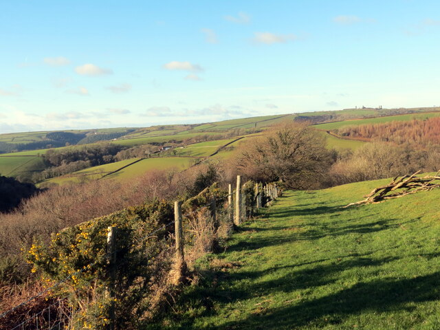
Image: © Alan Richards Taken: 26 Jan 2023
Llwybr cyhoeddus a elwir 'Llwybr Bwlch y Dawns' yn mynd i lawr y waered tuag at Dafarn y Cwm. Enwir y llwybr felly ar ol 'Bwlch-downs' anhedd-dy a safai gerllaw. A public footpath known as 'Llwybr Bwlch y Dawns' (trans. pass of the dance path and named after 'Bwlch-downs' a property that stood nearby) descends towards Tafarn y Cwm (trans. valley tavern).
Images are licensed for reuse under creativecommons.org/licenses/by-sa/2.0
Image Location
Latitude
51.867647
Longitude
-4.396028