Modern Boundary Stone, Dean Common
Introduction
The photograph on this page of Modern Boundary Stone, Dean Common by Mr Red as part of the Geograph project.
The Geograph project started in 2005 with the aim of publishing, organising and preserving representative images for every square kilometre of Great Britain, Ireland and the Isle of Man.

There are currently over 7.5m images from over 14,400 individuals and you can help contribute to the project by visiting https://www.geograph.org.uk
Modern Boundary Stone, Dean Common
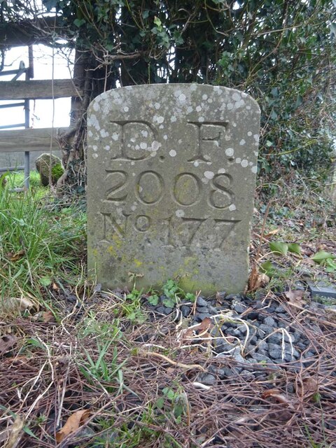
Image: © Mr Red Taken: 26 Jan 2023
On the Eastern verge of the B4224 adjacent to Gloucestershire footpath DMD4. Marking the boundary of the Royal Forest of Dean, this also marks the modern county boundary between Gloucestershire and Herefordshire, also the parishes of Lea, East Dean and Mitcheldean. Inscription: D. F. / 2008 / Nᴼ. 177 Milestone Society National ID: GL_DFMILE177em
Images are licensed for reuse under creativecommons.org/licenses/by-sa/2.0
Image Location


Leaflet Map data © OpenStreetMap
Latitude
51.879974
Longitude
-2.493853